Information for Homeowners
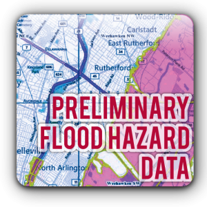
Flood risk can, and does, change over time. Flood risks change for many reasons: new development, changes in levee classification, and environmental changes, to name a few. As a result FEMA is updating flood hazard maps across the country. These new flood maps, also, known as Flood Insurance Rate Maps (FIRMs), show flood risk at a property-by-property level.
When new maps are issued, your risk can change along with your flood insurance requirements. If your property is mapped out of a high-risk area, your flood insurance costs will likely decrease. If you’ve been mapped into a high-risk area, you will be required to purchase flood insurance.
If you live near a levee, your flood risk may be higher than you thought. Hundreds of levees across the country no longer meet federal standards for protection, so when new maps are issued, these areas will be shown as high risk.
Check your community for the latest preliminary FIRM flood maps: http://bit.ly/1SwfsMA
WHAT IS NEXT IN THE MAP UPDATE PROCESS?
As the preliminary FIRM data becomes effective, there are steps for homeowners, community officials, and financial lenders to take before it can become a community’s official FIRM.
The FIRM adoption process requires a 90-day appeal period in order to allow for local input. During the appeal period, community officials and the public can submit scientific or technical information to FEMA if they believe the preliminary FIRM should be revised.
APPEAL RESOLUTION
FEMA reviews appeals and comments submitted by community officials and the public during the 90-day appeal period to determine any changes necessary for the preliminary FIRMs. If needed, FEMA will issue revised preliminary FIRMs that incorporate these changes. All feedback submitted during the 90-day appeal period must be resolved before the preliminary FIRMs can move to the next phase.
MAP FINALIZATION/ADOPTION
After resolving all appeals, FEMA will finalize the maps, which will become effective after a 6-month map adoption period. Once the FIRM is effective, flood insurance rates and purchase requirements could be impacted for your property depending on changes shown on the maps. This is a good time to contact your insurance agent to understand any changes to your property before the maps are final. Building requirements may also be impacted — be sure to consult with your local officials to understand any new construction requirements that may apply.
REQUESTING A CHANGE TO THE FIRM FOR A SINGLE PROPERTY
If you believe your home has been incorrectly included in the Special Flood Hazard Area shown on the newly effective FIRM, FEMA provides a Letter of Map Amendment (LOMA) process. The LOMA process is used to officially change the zone designation shown on an effective FIRM (not a preliminary FIRM) for a single lot or structure.
REVALIDATION OF LETTERS OF MAP CHANGE
FEMA uses the Revalidation Letter process to keep LOMAs issued for the previous FIRM in force. Revalidation Letters are sent to your community officials and are effective the day after the new FIRM.
NEED HELP?
If you have questions about flood maps, flood insurance and/or claims, contact the National Flood Insurance Program directly or call us, LG Insurance Agency, your local Jersey Shore insurance experts. We specialize in Flood Insurance in New Jersey and our knowledgable agents are here to help.
All content provided in this blog is for informational purposes only. Topics discussed on this blog relate to insurance products and issues in a general application, and are not an offer of insurance, a guarantee of coverage, or applicable to specific and individual circumstances. Contact LG Insurance Agency for questions and information specific to your insurance needs.